Early this month we shared an animation created by Nathan Yau mapping the history of population expansion in the US.
Here is a similar animation but distorting land mass according to population size, like in those maps that got popularised by Ben Benjamin.

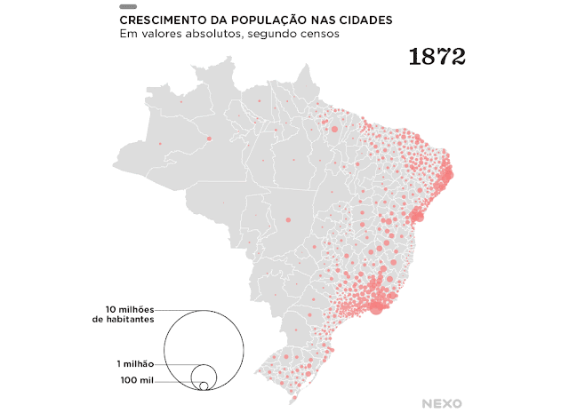
Here is a relatively simpler but still a nice animation of population growth in Brazilian municipalities between 1872 and 2010. This gif is based on population census data and it was created by a data visualization team at Nexo, which is one of the best news websites in Brazil.

credit: Nexo
Here is a similar animation but distorting land mass according to population size, like in those maps that got popularised by Ben Benjamin.

credit: Nexo