Friday, August 31, 2012

Thursday, August 30, 2012
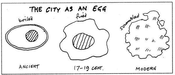
Urban Centrality Index (self promotion)
Good news. My paper with Monasterio, Nadalin and Albuquerque on Urban Centrality has been accepted for publication in Geographical Analysis !

Quantifying urban centrality: a simple index proposal and international comparison.
Abstract: This study introduces a new measure of urban centrality. The proposed urban centrality index (UCI) constitutes an extension to the spatial separation index (Midelfart-Knarvik et al., 2000). Urban structure should be more accurately analyzed when considering a centrality scale (varying from extreme monocentricity to extreme polycentricity) rather than being considered as a binary variable (monocentric or polycentric). The proposed index controls for differences in size and shape of the geographic areas for which data are available, and can be calculated using different variables such as employment and population densities or trip generation rates. The properties of the index are illustrated with simulated artificial datasets and compared to other similar measures proposed in the previous literature. Then the index is applied to the urban structure of four different metropolitan areas: Pittsburgh and Los Angeles in the United States; São Paulo, Brazil; and, Paris, France. The index is compared to other traditional spatial agglomeration measures, such as global and local Moran’s I, and density gradient estimations.
Wednesday, August 29, 2012
One Hundred Years of Land Values
Gabriel Ahlfeldt (LSE) presents at the Lincoln Institute his project on digitizing data from the Olcott's land values blue book of Chicago. The Olcott's Blue Books (under public domain) bring a unique dataset of historical land values, land uses, building heights, and other information in Chicago and its suburbs, published annually between 1900 and 1990 (!)
You can

Tuesday, August 28, 2012
Densification vs. De-densification of Manhattan
This map (posted at Urbanization Project) compares census tract densities in Manhattan between 1910 and 2010 (via Aaron M. Renn from Urbanophile). And some people think Manhattan is too dense now.

Of course it was totally different times (i.e. smaller car fleet and less transportation infrastructure).
Friday, August 24, 2012
Assorted Links
- Demographic data about African countries (via @demotrends)
- Assistant Professor in Demography and Public Affairs Position at Princeton University
- Fertility decline and income inequality (via John Weeks )
- Incentives: Prizes ou Grants?
- Global Warming and the Political Economy of Cities, by Saskia Sassen
- Want a Job? Go to College, and Don’t Major in Architecture
- A Master List of 500 Free Courses From Great Universities
Wednesday, August 22, 2012
P&E: special issue dedicated to the memory of Daniel Hogan
The latest issue of the Population and Environment journal is dedicated to the memory of Prof. Daniel Joseph Hogan, who passed away in 2010. I had the honor to have him as my advisor throughout my Masters and I was glad to read the Introduction to this latest issue. It gives us a more broad perspective on the wide contribution Daniel made to field and to Brazilian social science.

Monday, August 20, 2012
Labour productivity vs Demographics
A very interesting article on Labour productivity vs demographics comparing Japan, USA and
Euro area (
via Bernardo L Queiroz). It is based on a study by Nathan Sheets and Robert Sockin (I wish I had access to it!)
The NYT has also published a few words on this topic suggesting that "demographics are an important reason that the American economy has slowed but only one part of a much bigger story".
[Click on the image to enlarge it]

(Image Credit: FT Alphaville)
Opportunities
- Lecturer in Global Urbanism - Newcastle University
- Assistant Professor in Urban Sociology - University of Michigan
- Winter School in Fundamentals and Methods for Impact Evaluation in Population Studies (IEPS) - Università degli Studi di Padova
- Two fellowships for researchers to visit the Lemann Center - Stanford University
Sunday, August 19, 2012
2012 World Population Data Sheet
Here is the Webinar Presentation on the Population Reference Bureau’s (PRB) 2012 World Population Data Sheet. This year, the report focuses on three main topics: (1) aging developed countries, (2) rapid population growth in less developed countries and (3) epidemiological transition - i.e. the increased global prevalence of non-communicable diseases.

Subscribe to:
Posts (Atom)