Urban Demographics

Structured Procrastination on Cities, Transport Policy, Spatial Analysis, Demography, R

Tuesday, May 1, 2012

The evolution of road networks

A quantitative analysis of how unplanned street networks evolve over time (via Per Square Mile and M. Batty).

"Network analyses performed on the digitized map revealed that although Groane had never been subjected to large-scale planning efforts, the street network evolved to be more uniform in size and density, and its predominant shape shifted from triangular to rectangular. Rectangular street networks may arise organically, the authors say, simply because they offer more efficient pathways and allow for more organized subdivision of land. [...] Groane's most interconnected roads in 2007 had already existed in 1833"

You may access the paper here or here.


You may also try to replicate the study for different cities. 
  • Paris 1550 (HT Leo)
  • Manhattan, NYC (1807) and here
  • London, 1746 and 1869
  • São Paulo 1958 
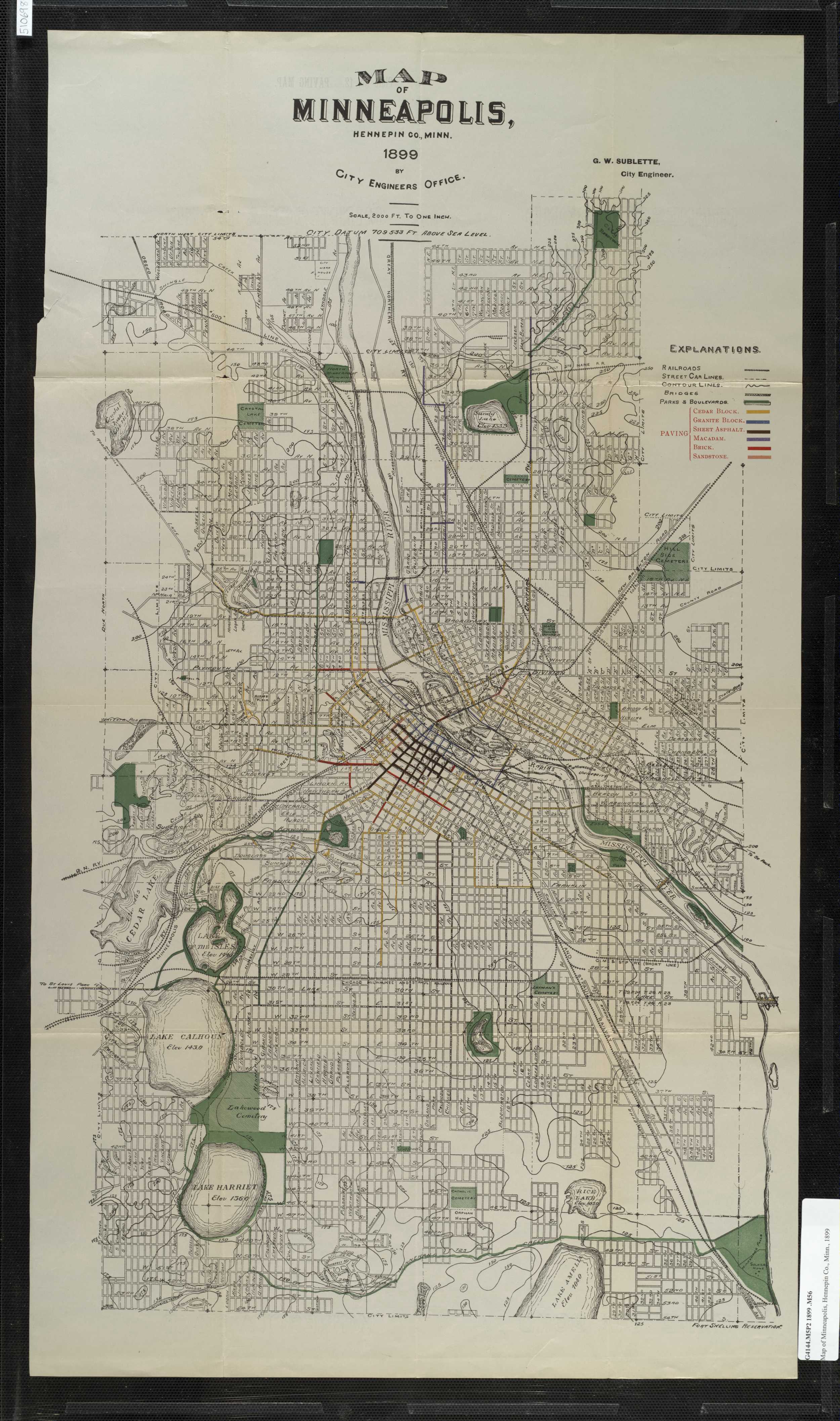
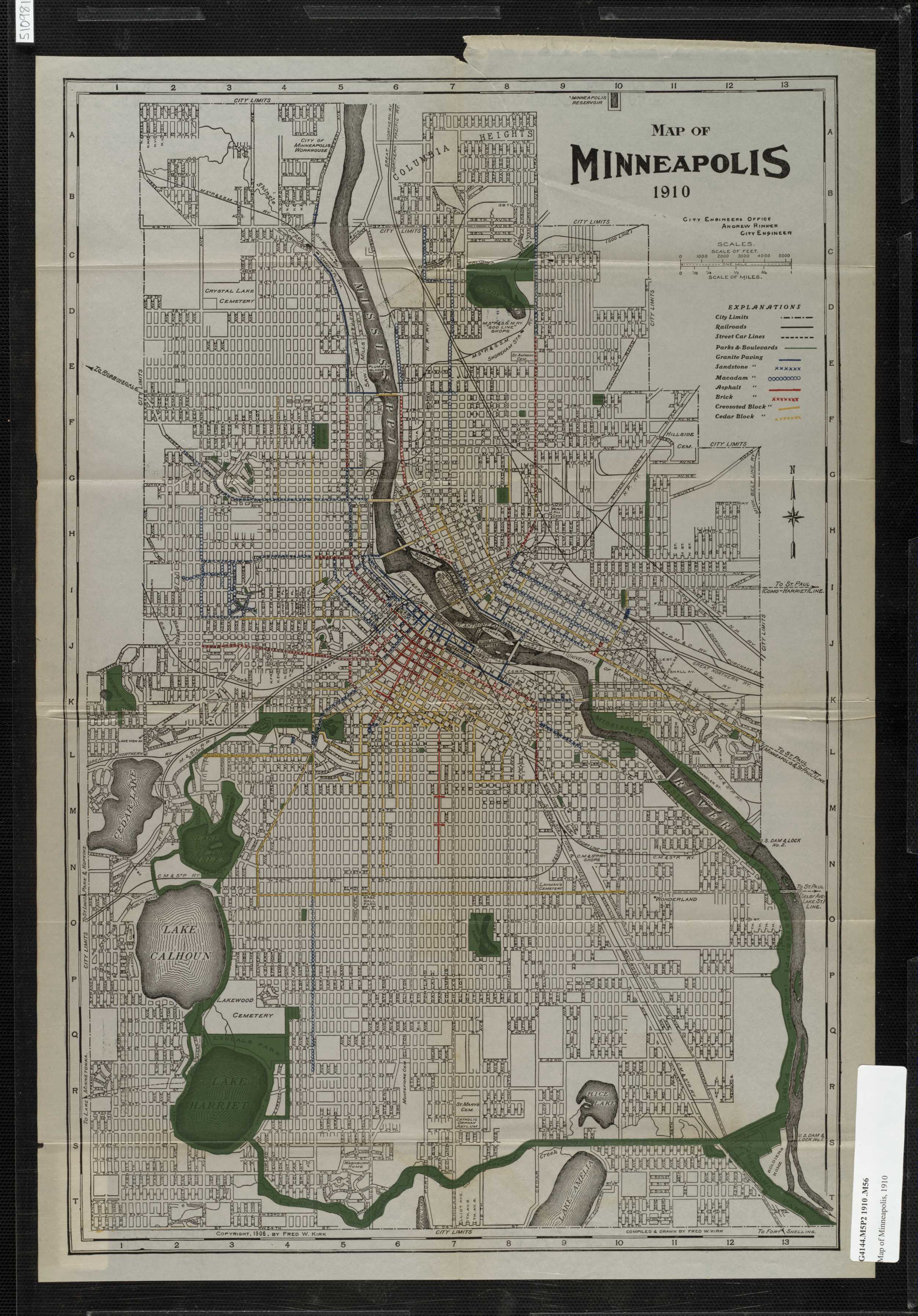
  • Minneapolis 1895, 1899, 1910 (via David Levinson)
  • Don't forget the David Rumsey Map Collection Database
Rafael H M Pereira
‹
›
Home
View web version
Powered by Blogger.